
The Federal Permitting Improvement Steering Council leads effort to improve Federal infrastructure environmental review and authorization with geospatial data and digital mapping technology
The Federal Permitting Improvement Steering Council (Permitting Council) released its geospatial (GIS) environmental data inventory, the initial step in developing a government-wide geospatial solution to improve the environmental review and authorization process for infrastructure projects. The GIS inventory, developed in partnership with the Office of Management and Budget, the Council on Environmental Quality, and the U.S. Department of Transportation, provides public access to environmental data that can affect infrastructure projects.
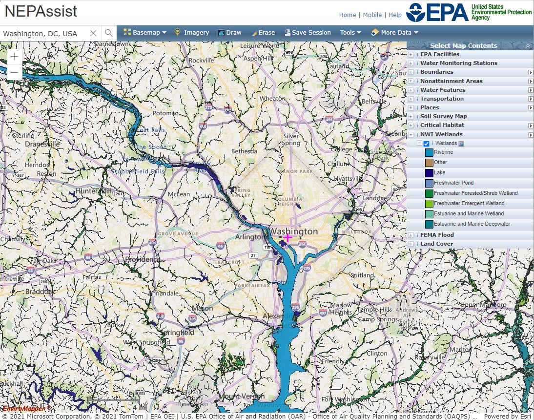
The GIS inventory includes more than 200 Federal and state geospatial data layers that users can import into desktop and web-mapping applications to identify environmental information that can impact proposed infrastructure projects across the country.
Similar to consumer apps like Google Maps and Waze that provide users with data on the preferred routes, accidents, gas stations, and restaurants in a geographic area, the GIS inventory will give users access to various environmental and project-relevant data. Through the GIS inventory, Federal agencies and stakeholders involved in the Federal environmental review and authorization of infrastructure projects can access data on air quality, cultural resources, critical habitats, endangered species, water resources, and more.
The Federal government has long explored the idea of standardizing or enhancing GIS data and tools for government-wide use. Earlier this year, the Biden administration called for a task force to examine the use of a Federal geographic mapping service to facilitate climate planning and resilience activities. In its work to improve the Federal infrastructure environmental review and authorization process, the Permitting Council identified that the ability for Federal agencies and project sponsors to visualize GIS data makes the process more effective. The GIS inventory helps to identify much of the initial environmental and resource data needed for data visualization and web mapping applications.
###
Media Contact
media@fpisc.gov
Last updated: Wednesday, December 1, 2021